A Local Guide to Beeston, Chilwell, Toton and Stapleford
An introduction to our neighbourhood coverage, with practical routes to Broxtowe’s town profiles and official maps for information about your area.
Published
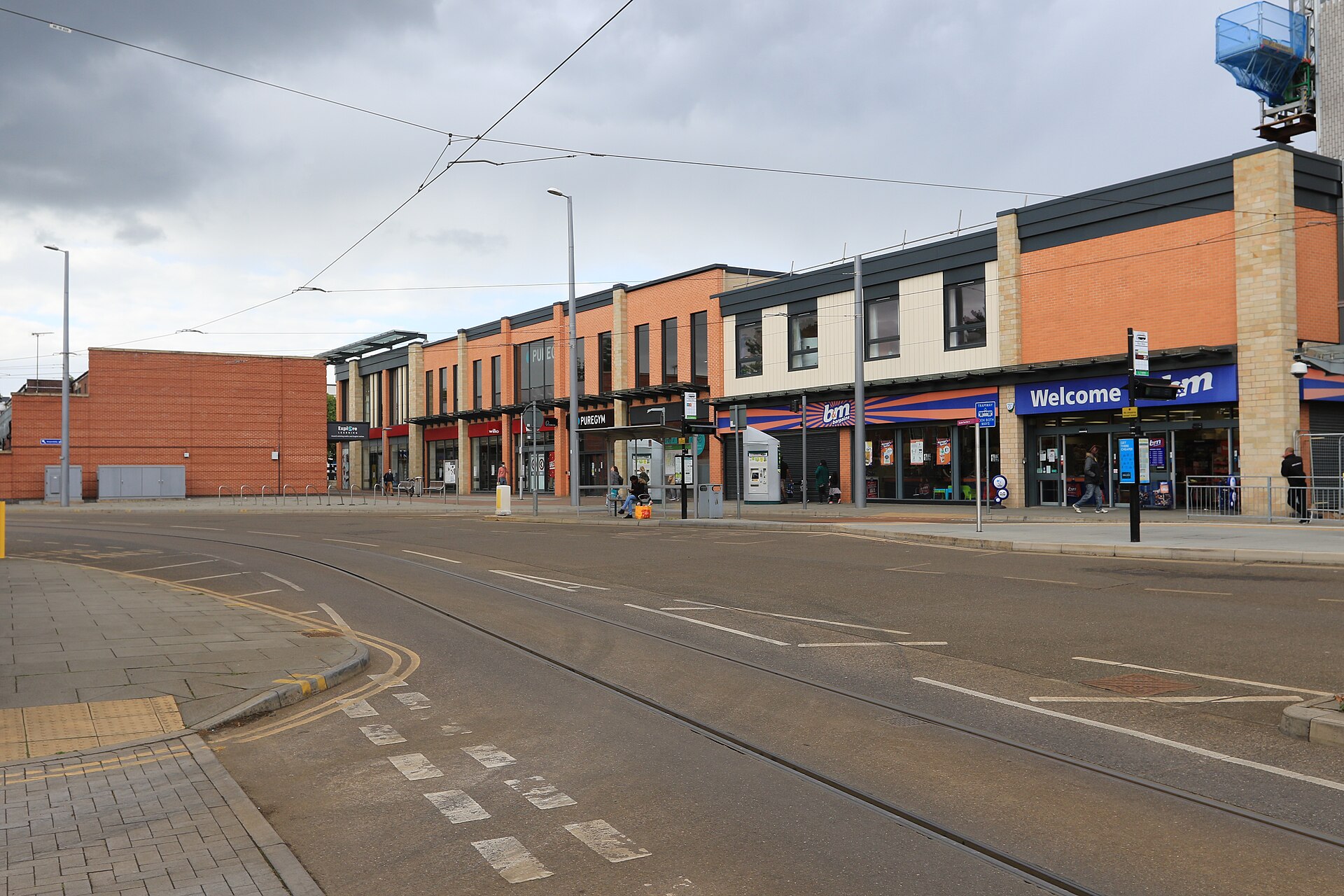

Beeston, Chilwell, Toton and Stapleford are the focus of NG9 Neighbourhood Journal. For an introduction to the area, Broxtowe Borough Council’s town profiles provide useful local landmarks. For questions about a particular home, nearby park or planning application, its maps offer a more specific starting point.[1][3][4]
Our Patch, Postal Addresses and Council Boundaries
Our coverage is an editorial choice: we’re an independent publication interested in these communities and the neighbourhoods around them. The NG9 postal label, a community’s name and a council boundary serve different purposes. Treating them as interchangeable can send you to the wrong place for an answer about your address.[1][2]
Broxtowe’s town-centre directory illustrates the distinction. It covers Beeston, Eastwood, Kimberley and Stapleford as retail and social destinations within the borough. That directory has a wider reach than the communities named in our masthead, while serving a narrower purpose than a guide to every neighbourhood. Use it to find town-centre information rather than to decide where a postcode district begins or ends.[2]
Beeston: Shops, Services and Recognisable Landmarks
Beeston’s council profile describes a town centre with independent shops, high street stores, cafés, pubs and restaurants. It also identifies a professional-services presence around Broadgate and the redeveloped Mill area on Wollaton Road, including financial companies, solicitors and property agents. That gives newcomers a useful picture of a centre used for everyday business as well as shopping.[3]
Two names worth recognising are The Beeston Seat, also known as the Beekeeper statue, and Broadgate Park. Both appear among the council’s local points of interest. They’re useful starting landmarks when getting familiar with Beeston, although the town profile itself isn’t a walking route or a guide to individual businesses’ opening hours.[3]
Stapleford: A Town on the County Border
Stapleford sits on the border of Nottinghamshire and Derbyshire. Broxtowe’s profile describes its centre as a mixture of national companies and independent retailers, and places it in the context of connections with both Nottingham and Derby.[4]
The same profile identifies Stapleford Town Council as a body working in the local community. Keep the organisation’s full name in mind when following local information: a town council and Broxtowe Borough Council are distinct organisations. Start with the authority named on the relevant service page when deciding whom to approach.[4]
Finding Information for Chilwell and Toton
Chilwell and Toton belong in our coverage too. Their absence from Broxtowe’s list of main town centres doesn’t make that list a boundary for this publication. For a question tied to a home in either community, the council’s property and nearby-service maps are a more direct route than choosing a town-centre profile.[1][2]
You’ll also encounter Toton Lane in the council’s town-centre information. It identifies the tram Park & Ride near Stapleford as a transport connection. The place name helps explain that reference, but it doesn’t establish a boundary between Toton and Stapleford or assign surrounding addresses to either community.[2]
Choose the Broxtowe Map That Matches Your Question
The Broxtowe Maps directory separates information by purpose. Before opening a map, decide whether you need details about a property, a nearby service or a planning application. These are the useful starting points:[1]
- My Broxtowe brings together information relating to your property or close by, including local councillors, planning history and your polling station.
- Near Me helps you find local services around your location, with local parks given as an example.
- Planning displays planning applications within Broxtowe Borough. The directory also points to the Planning Application Search for details of individual applications.
For your next local enquiry, start with the question and the address. A town profile can introduce Beeston or Stapleford, while a property or service map can take you closer to the information relevant to your own part of the neighbourhood.[1][3][4]
Sources and checks
These sources were used for this article. Availability, prices and service details can change after the stated check date.
- Broxtowe Maps
Checked 20 October 2026.
My Broxtowe provides property-related information, including councillors, planning history and polling stations. Near Me helps users find nearby services, including parks. The Planning map covers planning applications within Broxtowe Borough and links to the Planning Application Search. The maps provide distinct routes for property, nearby-service and planning enquiries.
- Town Centres
Checked 20 October 2026.
Broxtowe’s main town-centre directory identifies Beeston, Eastwood, Kimberley and Stapleford. The council describes those centres as retail and social destinations and places of employment. The directory identifies Toton Lane tram Park & Ride as near Stapleford. The town-centre list serves a different purpose from the publication’s selected community coverage.
- Beeston
Checked 20 October 2026.
Beeston’s council profile describes independent shops, high street stores, cafés, pubs and restaurants. The profile identifies professional-service businesses around Broadgate and the redeveloped Mill area on Wollaton Road. The Beeston Seat is also known as the Beekeeper statue. Broadgate Park is identified as a local green space.
- Stapleford
Checked 20 October 2026.
Stapleford’s town centre includes national companies and independent retailers. Stapleford sits on the Nottinghamshire and Derbyshire border. The council profile identifies transport connections with Nottingham and Derby. Stapleford has a town council working in the local community.